top of page

Use cases
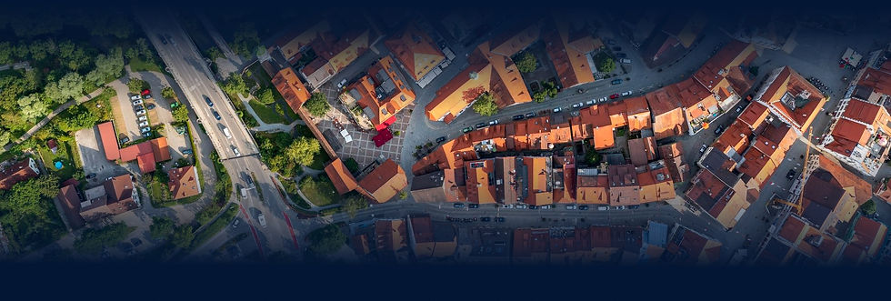
Roof measurements
Pixel-level segmentation to measure and classify roofs
Find, measure, and classify roofs in a given area. Estimate sun exposure to find new business opportunities and increase sales.


Land measurements
Pixel-level segmentation to classify terrain type and measure or demarcate areas
Find and segment aerial and satellite images to carry out classifications and measurements for your company, or to detect natural changes.
Locate assets
Deep Learning for object detection in satellite or aerial images
Find infrastructures and facilities from aerial and satellite images to find new business opportunities for your company, or to detect structural changes.

Capabilities


.png)


bottom of page